
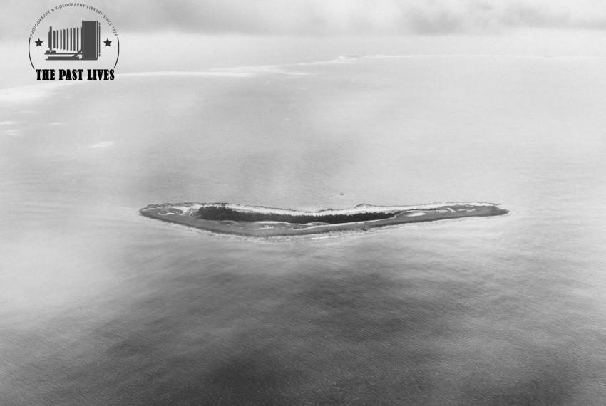
2016 Aerial View of One of Tuvalu’s Outer Islands
This aerial photograph shows one of Tuvalu’s low-lying outer coral islands in the Pacific Ocean.
The island appears as a narrow strip of land surrounded by reef, lagoon, and open sea.
Its fragile shape highlights the geography of Tuvalu, a small island nation made up of coral islands and atolls with very low elevation.
The image is powerful because it visually expresses Tuvalu’s vulnerability to rising sea levels and climate change.
According to the published caption, the island was photographed from the airplane that lands at the capital, Funafuti, twice a week.
Similar Photos

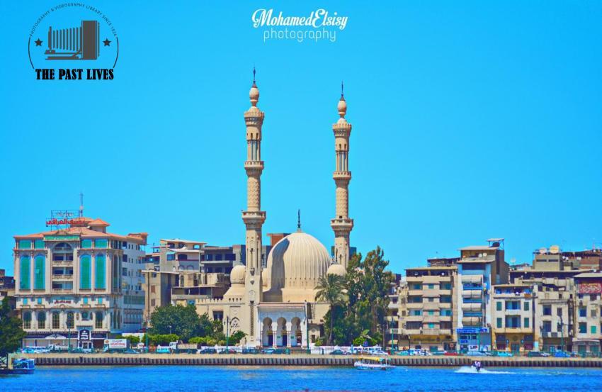
2016 Egypt, Al-Bahr Mosque in Damietta
by Admin
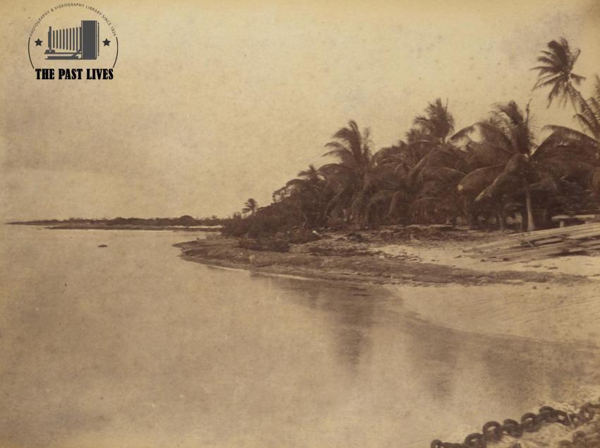
1886 Tuvalu , Beach Suwarrow inside lagoon
by Admin
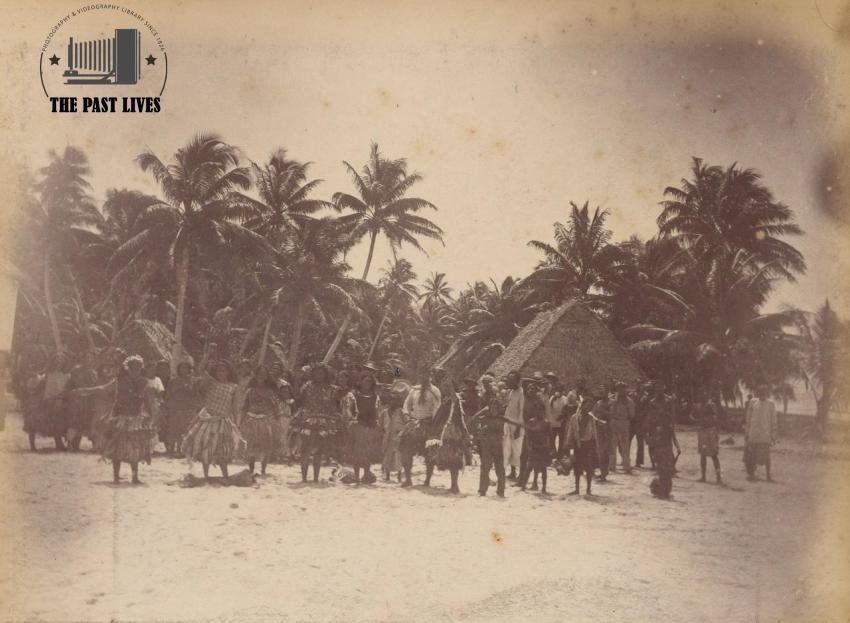
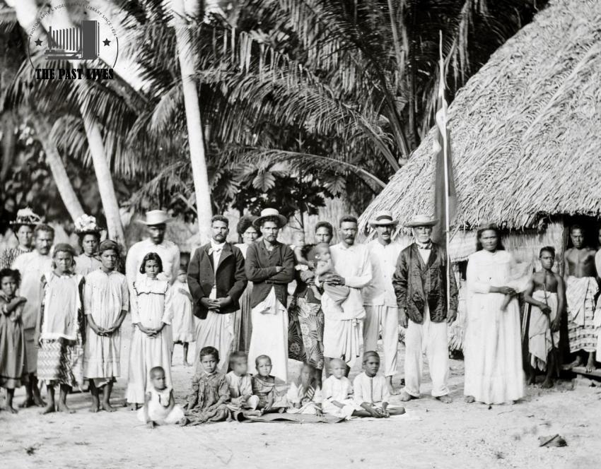
1886 Tuvalu Dancers at Funafuti in Tuvalu
by Admin
1886 Tuvalu, Nui atoll
by Admin
1886 Tuvalu, Mokil
by Admin
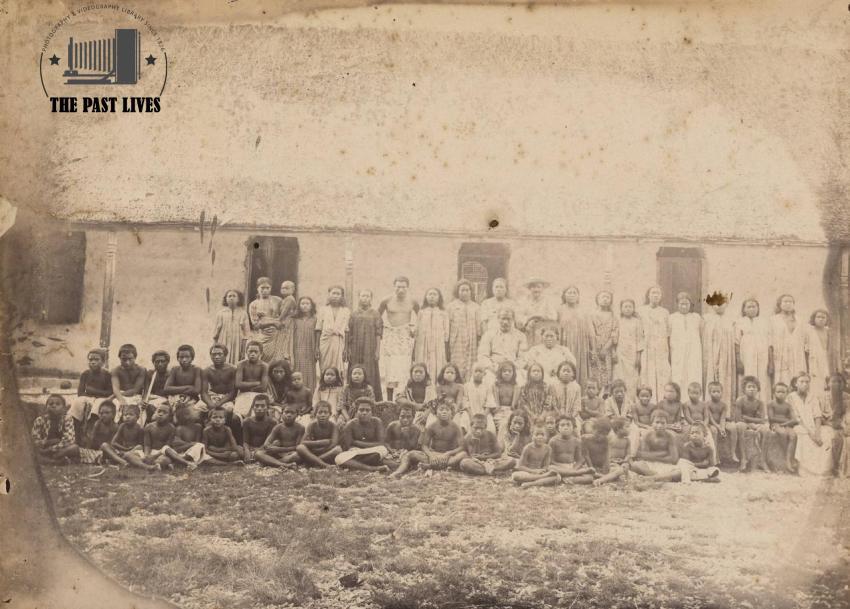
1897 Funafuti, Ellice Islands - now Tuvalu
by Admin
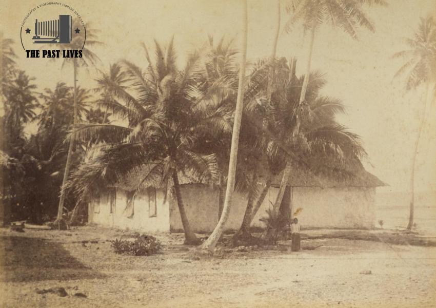
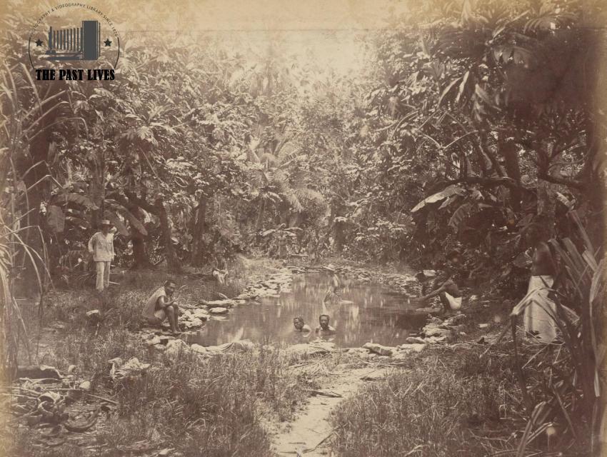
1886 Tuvalu, Washing hole at Funafuti
by Admin
Admin
934 Photos
-
2
-
0
-
0
License and Use
Free for commercial use Attribution required- Details
- Year Taken 2016
- Country Tuvalu
- Photo #1401
- Published on Jun 13, 2026
- Photo type JPG
- Resolution 4917x3296
- Photographer Forest Woodward
- Category Cities & Villages
- File size 5.3MB